Clonburris 4km link road and drainage infrastructure approved
THE NEXT step in expanding the infrastructure as part of the Clonburris Strategic Development Zone (SDZ) has been granted permission by South Dublin County Council.
Plans, which were submitted by Clonburris Infrastucture Limited, are made up primarily of road and drainage infrastructure “almost exclusively on undeveloped greenfield lands”.
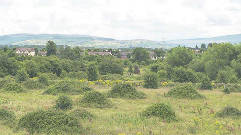
Labelled as the Clonburris Southern Link Street, the road will run from Newcastle Road, where Lucan Sarsfields GAA Club is based, right across to the Ninth Lock Road and be located on the greenbelt between the rail line and the Grand Canal.
Ultimately, the goal of the new linkages and arterial road network is to provide access and services for the future development of the southern half of the overall SDZ lands.
Spanning around 4km, the new road will generally consist of 7m wide single carriageway with landscaped verged either side, 1.75m wide off-road cycle lanes and 2m wide footpath with lighting.
The local planning authority recommended the cycle tracks be increased to 2m in accordance with the Clonburris Planning Scheme 2018.
Further recommendations were made around pedestrian crossings and cycle lanes across the whole development and junction design, water plans and green infrastructure among other things.
In a representation submitted by Cllr Eoin O’Broin, he raised an observation concerning the ruin of Cappagh House.
It appeared in the plans that the road which begins at the planned junction on the Ninth Lock Road would run straight through the ruin.
It is also worth noting that three Kiln areas, which showed evidence of post-medieval brick manufacture and “archaeological areas” showing charcoal production pits were highlighted in an archaeological assessment.
Clarification was sought from the developer by the planning authority stating that a concern was raised about Cappagh House that the proposed development “would have a negative impact” on it.
With no proposal for the building to be demolished, the applicant clarified that overgrowth will be removed from the site of Cappagh House to facilitate a full record of the ruins.
“All ground works in this area and at the site of Clonburris Cottage, will be subject to archaeological monitoring,” they said in an Environmental Impact Assessment in response to concerns raised.
The provision of 288 on-street car parking spaces and eight new junctions, which include three junctions to facilitate future road developments, two junctions with proposed local access roads and three new junctions with Hayden’s Lane, Lynch’s Lane and Ninth Lock Road are also included in the plans.
Alterations will be made to existing junctions on Newcastle Road, Grand Castle Road, Fonthill Road and park and ride facilities at both Kishoge and Fonthill rail stations.
There is also plans to link the vacant lands on either side of the rail line, with a new vehicle bridge in between the Grange Castle Road and Fonthill Road.
Sections of the aforementioned roads are set to undergo widening, revisions and reconfigurations to accommodate linking in with the Clonburris Southern Link Street.
The subject lands are in the ownership of Clear Real Estate Holdings Ltd, Cairn Homes Properties Ltd, Sordino Ltd (Kelland Homes), Patrick Hayden and South Dublin County Council.
Letters of consent were provided from each of the land owners and it was outlined that all apart from Mr Hayden are principal landowners controlling development land in Clonburris.
Mr Hayden controls a portion of land near Hayden’s Lane, which is incorporated into the road network.
Drainage infrastructure works include eight attenuation systems which take in Griffeen River and Kilmahuddrick Stream is also included in the plans.
The council granted permission for this proposed development on August 12, 2021.

