Nature on our doorsteps: Helping to slow down the River Dodder
WATCH
Rosaleen Dwyer is the County Heritage Officer at South Dublin County Council – every week she gives us an insight into the natural heritage around us and the beautiful biodiversity of the plants and creatures.
The Dodder River Valley between Old Bawn Bridge and the City Weir at Balrothery/Firhouse was identified by government in the 1990s as one of the country’s network of proposed Natural Heritage Areas.
For the Dodder, this designation reflected the fact that this section of the river was the last remaining stretch in urban Dublin where the river still retained good examples of natural habitats such as flower-rich grasslands and wet woodlands.
The wet woodland habitat was, and still is, of great importance.
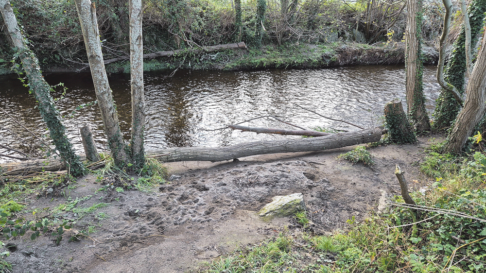
This is the extended area of woodland that occurs in the low-lying hollow below Jim Lawlor Bridge in Old Bawn Park, where winding channels of streams and dry gravel banks braid their way through stands of tall trees, marshy areas and temporary ponds.
This wetland habitat performs a number of very important functions, not just for wildlife but also for the communities of residents and businesses that live and work along the Dodder.
When levels are low in the Dodder, the river enters the wet woodland and proceeds slowly through the habitat, mostly following a central channel.
When volumes are higher, however, the river approaches the woodland at a higher speed. This causes it to split and spill into the extensive network of channels and dry gravel banks that occur throughout the woodland.
By spreading the water across a larger area, the energy and speed of the river is greatly reduced.
By the time it emerges from the other end of the wet woodland the river is calmer. In this way, the wet woodland helps to reduce the potential for flooding further downstream in places where buildings might be located closer to the river’s edge.
After the initial rush of water recedes, the wet woodland continues to function. Over the following days and weeks, the network of stream channels, marshy areas and ponds that were full during the flood begin to slowly release their store of water.
Before long, The channels are dry once again, ready for whenever the river surges again.
Scan the QR code to watch the video.

