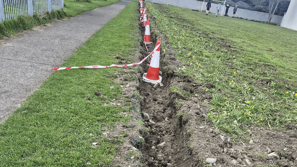
€400,000 was allocated by the NTA towards design work and sections of the Dodder Greenway project to the entrance of Bohernabreena Reservoir
Review of county boundary and branding being piloted by NTA
A review of county boundary and branding is currently being piloted by the National Transport Authority as people travel from South Dublin to Dublin City and beyond.
The NTA is currently undertaking a review of county boundary and branding matters as patrons cross from South Dublin to Dublin City or Dun Laoghaire-Rathdown administrative area through new greenways.
The Dodder Greenway was noted as one of the active travel paths that could benefit from the outcome of this review.
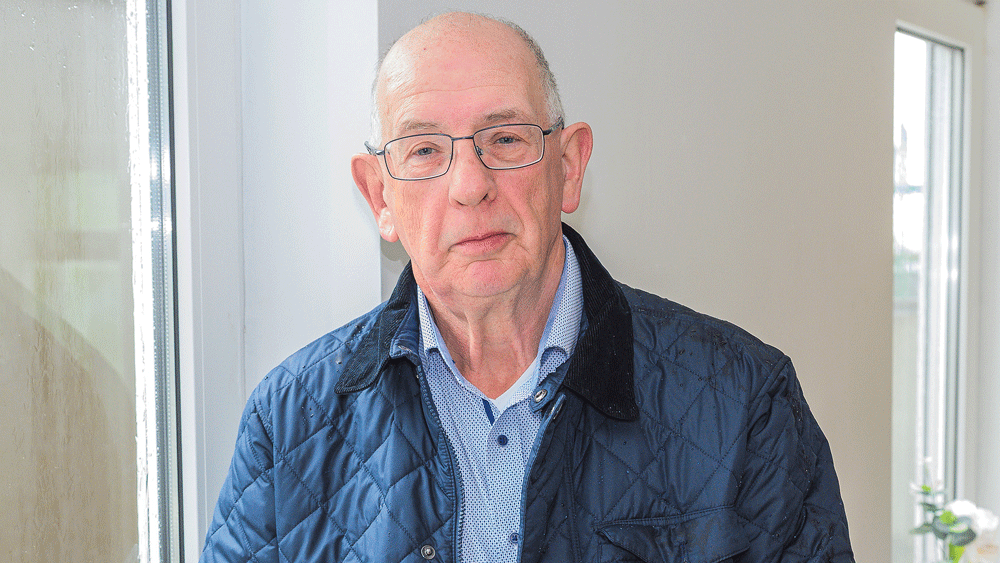
SDCC Executive Engineer for Active Travel Ronan Carroll stated that clear parameters must be established regarding the advertising of commercial facilities in relation to Fáilte Ireland and the Dodder Greenway and this is under review.
The Dodder Greenway will provide approximately 20km of walking and cycling facilities along the Dodder River linking Sir John Rogerson’s Quay in the City Centre to the entrance to the Bohernabreena reservoirs at Glenasmole.
The planned greenway will travel through three local government areas from one end of the path to the other.
South Dublin County Council are responsible for 14km of the scheme from the Bohernabreena Reservoir to Orwell Park in Rathfarnham.
€400,000 was recently allocated by the NTA towards design work and sections of the Dodder Greenway project from Firhouse Road to Butterfield Avenue and from Kiltipper Road to Old Bawn Road.
Mr Carroll noted that as the project remains a work in progress, progression is expected to be gradual given the scale and traversal of multiple local authority boundaries.
Funded by the Local Democracy Reporting Scheme.