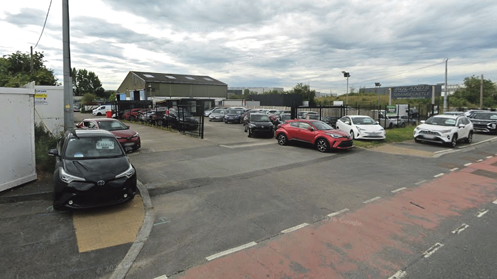
The site in Grangecastle
Additional info requested for new culvert at Grangecastle Motor Company site
ADDITIONAL information has been requested from the Planning Authority regarding an application that was submitted by JSA Planning, seeking permission for a new culvert to convey the Baldonnell Stream under the Grangecastle Motor Company site.
JSA Planning submitted the application on behalf of Vantage Data Centres in May for the installation of a new culvert as the existing one “has been found to have a number of blockages and significant deterioration.”
The proposed culvert will be an approximately 90m long concrete box culvert with overall internal dimensions of 1.1m wide by 1.7m high and will be located at the Grangecastle Motor Company site which is located at Profile Park to the south of the New Nagor Road.
In response to this application, the Planning Authority requested further information to ensure the proposed development “is in accordance with the development plan and the proper planning and sustainable development of the area.”
The Chief Executives report also highlights the need for the culvert to accommodate flood waters as far as possible during extreme flooding events.
The Authority specifically pointed to the possible impact the development of this culvert could have on biodiversity and called for measures to ensure the protection and enhancement of “the natural, historical, amenity and biodiversity value of the County’s watercourse.”
The Chief Executive order states that “the Planning Authority is not satisfied that the proposed development has demonstrated compliance with these policies and objectives.
“In this regard, the applicant should be requested to demonstrate how it is intended that the proposed development will align with the policies and objectives of the CDP or how the proposal will be revised to comply with CDP policies.”
The applicant, JSA Planning, is required to submit a compliant site location map as the application site indicated by a red line on the Site Location Map, is mostly not in the ownership of the applicant.
The applicant has provided a Site Location Map that does not illustrate the total holding of these premises and does not exclude the requirement to illustrate the full holdings of the persons who control the application site.
Funded by the Local Democracy Reporting Scheme.